A visual positioning system that delivers an absolute, GNSS-like fix onboard — fully European, ITAR-free, plug-and-play. Built for the platforms that cannot afford to lose signal.
year
2026
timeframe
Ongoing
NAVIGATION SOFTWARE
VPS
Problem
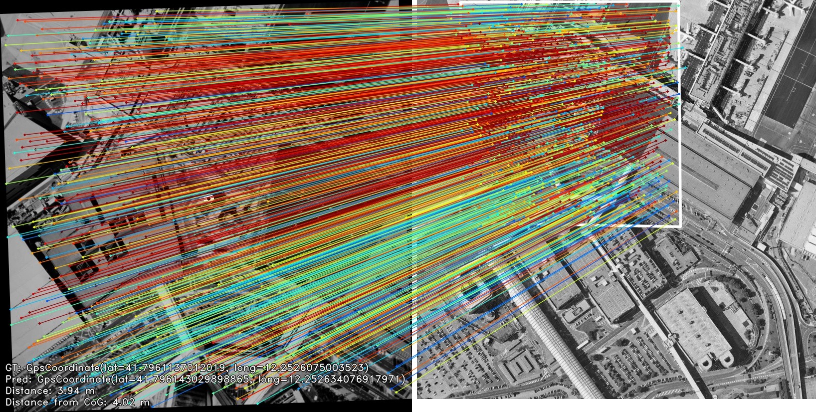
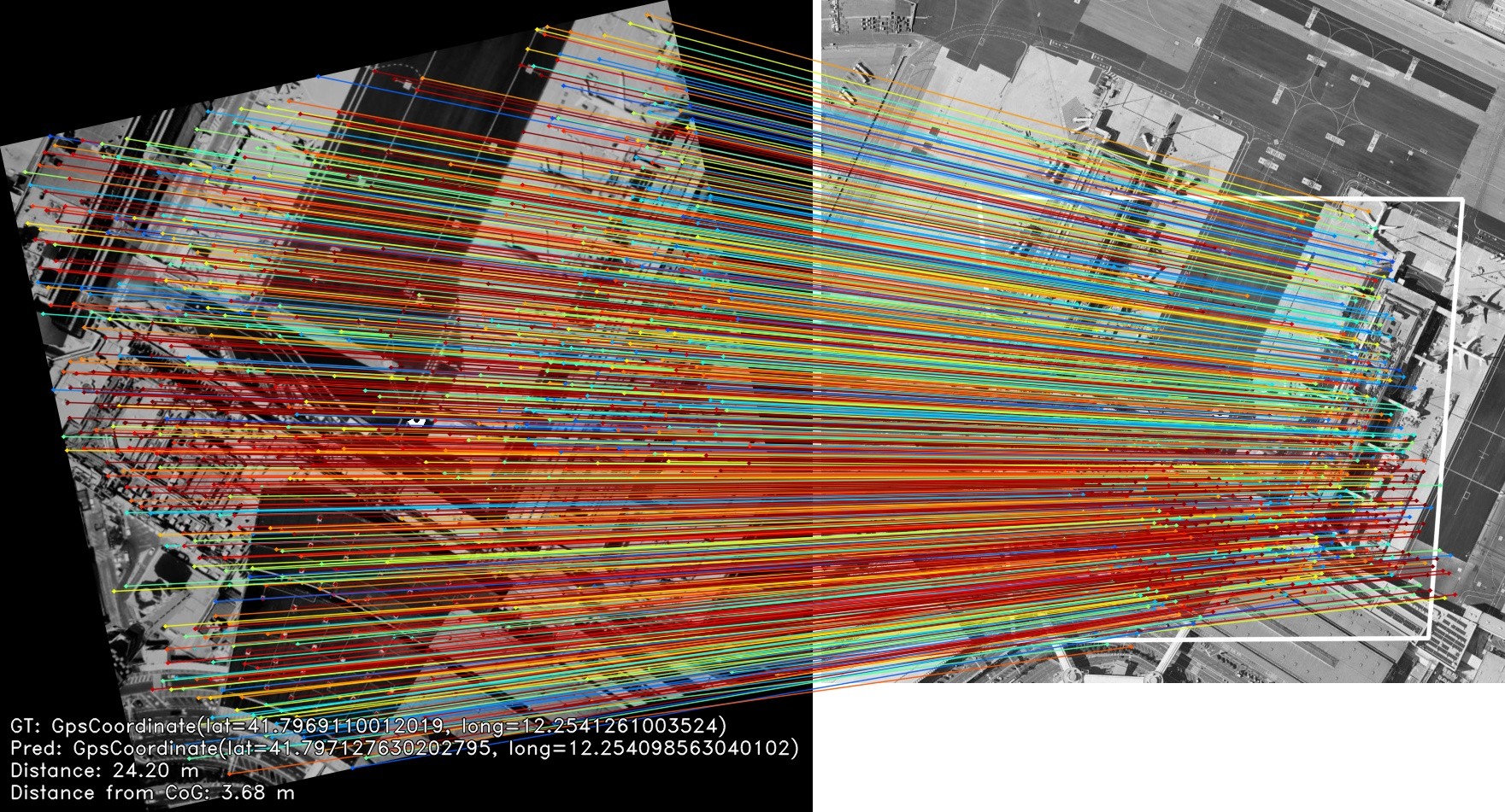
Modern UAV missions still rely heavily on GNSS for navigation and coordination. In contested or disrupted environments, intentional interference such as jamming and spoofing can degrade or deny GNSS signals, leading to loss of position, mission failure, and in the worst case the loss of high-value platforms and payloads. Existing workarounds often impose strong operational constraints, require additional infrastructure, or do not scale well across diverse mission scenarios.
Solution
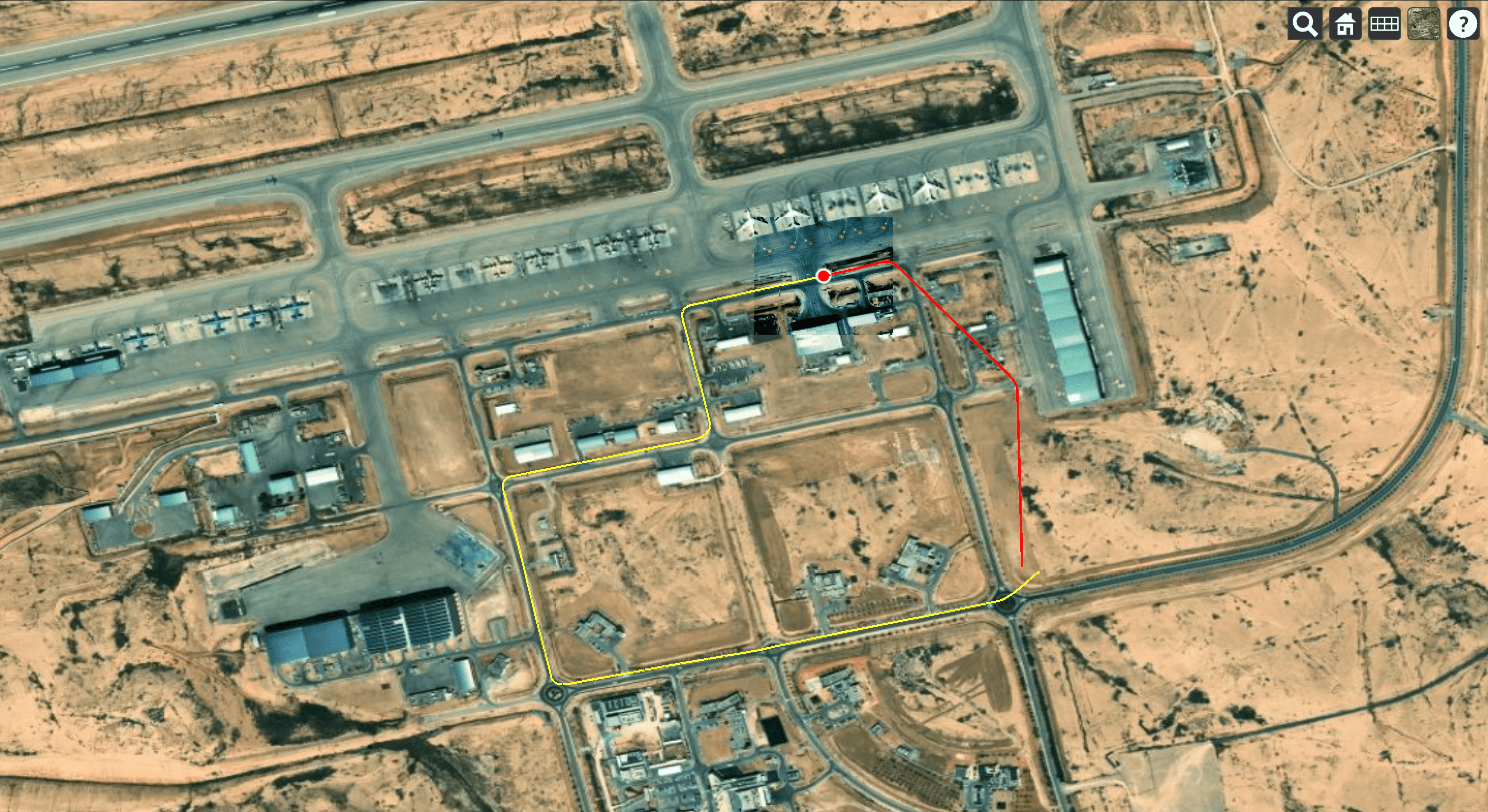
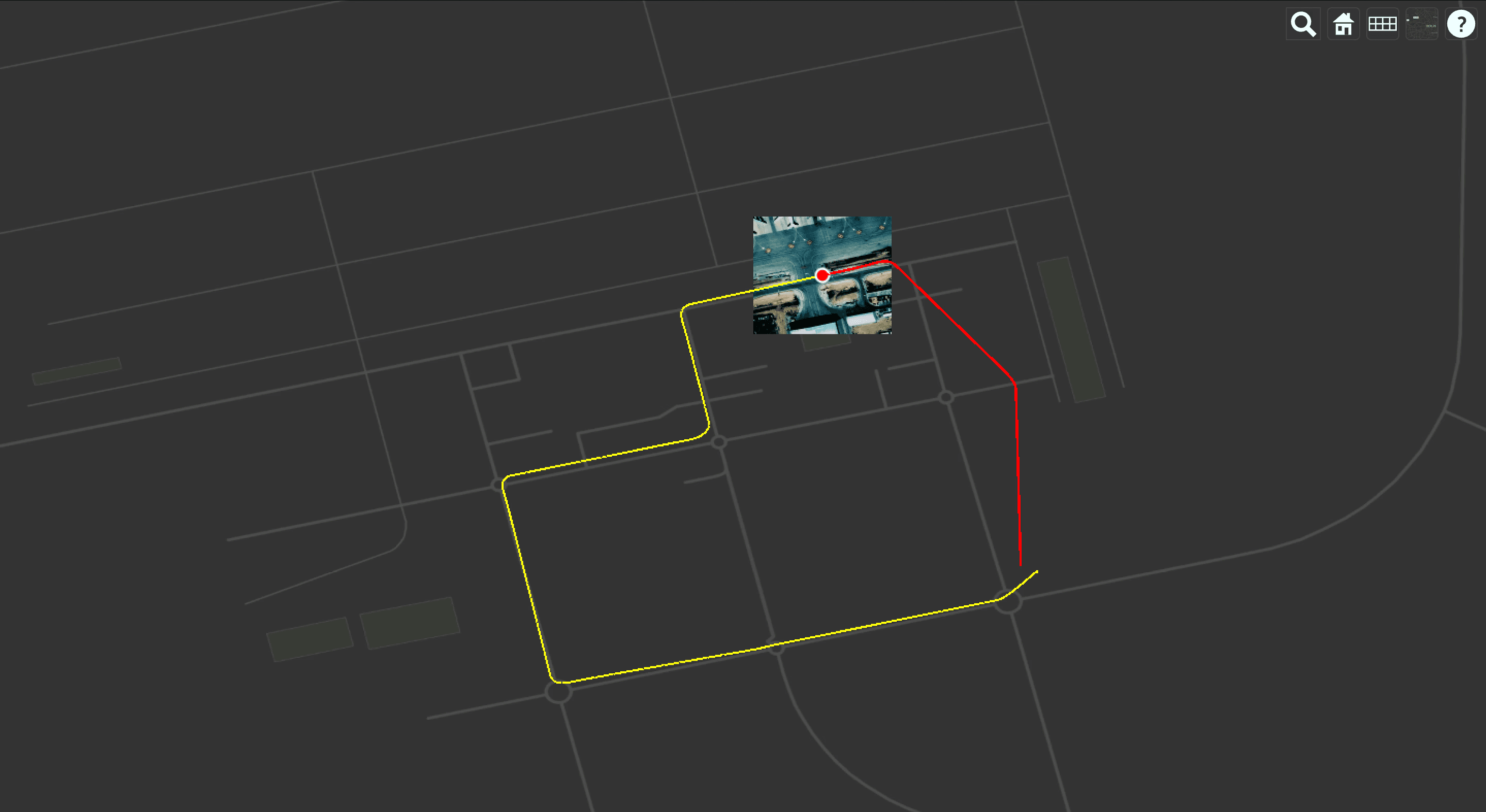
MONDRIAN provides a resilient positioning capability through a hybrid AI and algorithmic approach designed for onboard use. It leverages preloaded Earth Observation reference data and onboard sensing to compute a position fix even when GNSS is unavailable or unreliable. MONDRIAN can be deployed as software-only on platforms with existing compute, or delivered with DOT1, a dedicated plug-in hardware kit that enables fast integration on existing UAVs and supports controlled flight-test validation and iterative deployment.