
Raysilience Request a demo

Achieving True Autonomy

Defence · Aeronautics · Space
41.7957° N · 12.2505° E
Leonardo S.p.A. - Team for Innovation
Selected as
Leonardo S.p.A. Team for Innovation
ESA Business Incubation Centre Lazio
Incubated at
ESA Business Incubation Centre Lazio
Mission

Resilient navigation for autonomous aerial platforms in GNSS-denied environments.

Enabling continuous operations through onboard neural processing of Earth-Observation satellite data.

-  GNSS-denied -  GNSS-degraded
The product

MONDRIAN VPS

Visual Positioning System

MONDRIAN fuses onboard imagery, inertial data and preloaded Earth-Observation maps into an absolute position fix. No satellite signal needed. Delivered as a dedicated software + hardware package.

See how it works  →
Our path
From proof of concept to pilot readiness
Phase 01 · 2025

Leonardo S.p.A. - Team for Innovation
Leonardo S.p.A. - Proof of Concept

A funded PoC with Leonardo's Autonomous Systems laboratory, and selection as a Leonardo S.p.A. Team for Innovation.

Phase 02 · current

ESA Business Incubation Centre Lazio
ESA Business Incubation

Where MONDRIAN VPS is maturing through: technical validation, IP protection and pilot-ready maturity.

Phase 03 · next
2026
Field pilots & series integration

Deployment with UAV OEMs, system integrators and mission-critical operators across Europe.
Let the mission continue.

Request a demo  →

MONDRIAN.

Visual Positioning System
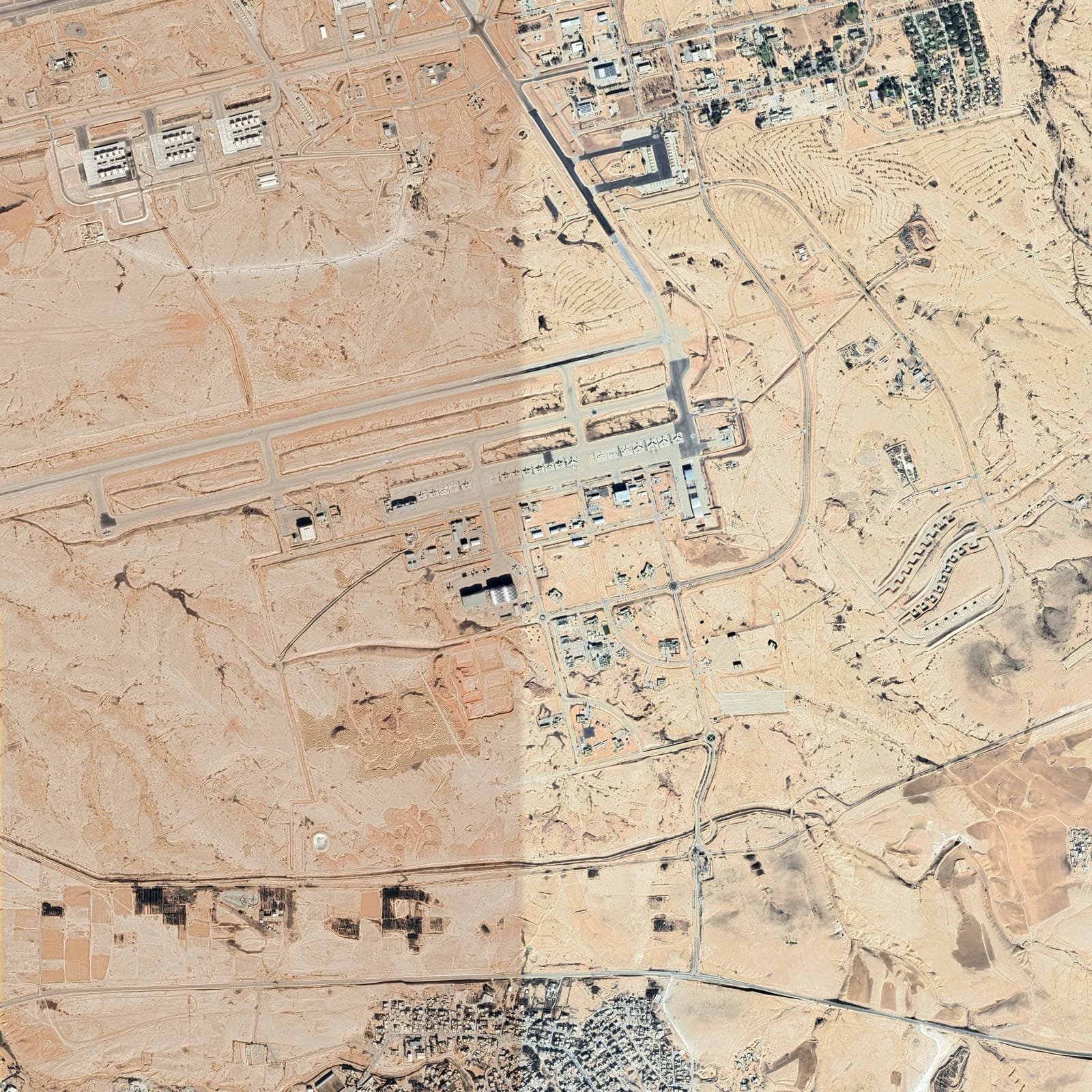
Preloaded EO maps
Preloaded EO maps
High-resolution EO maps, preprocessed and stored onboard as the reference layer.
Visual matching
Visual matching
Neural networks compare live camera imagery with preloaded maps - no external signals.
UAV · Kit
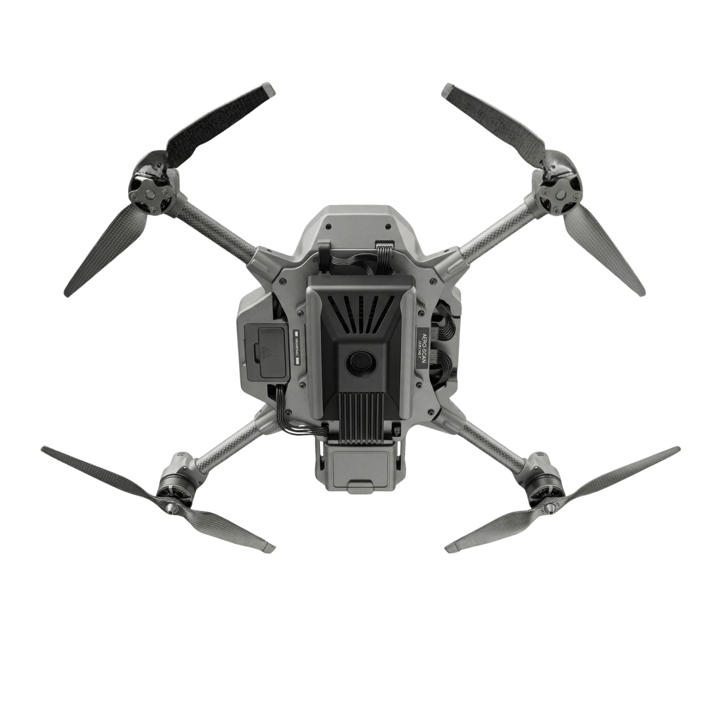
UAV with MONDRIAN kit
Plug-and-play kit
camera + compute + software
HW
+ SW
Onboard position projection
ONBOARD

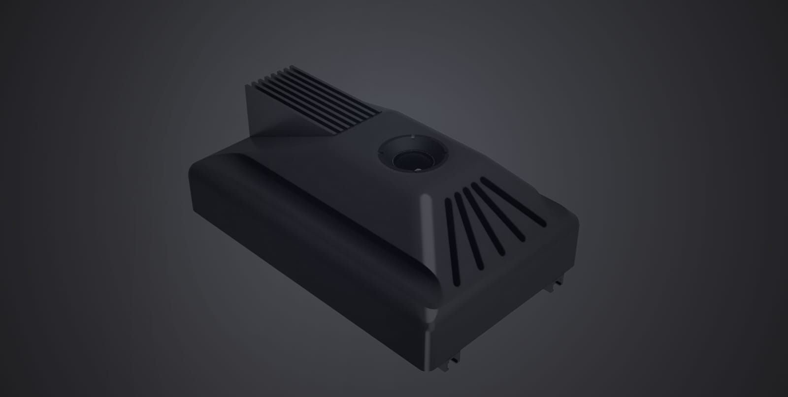
MONDRIAN is a neural positioning engine fusing onboard imaging, inertial data and Earth-Observation maps into an absolute position fix. It runs as software on existing avionics, or as a dedicated camera-and-compute kit.

MONDRIAN sensor module - camera and embedded compute
Sensor module · camera + compute
How MONDRIAN works
Four stages · fully onboard
01 · Pre-mission
EO Map Loading

High-resolution Earth-Observation maps are preloaded onto the system for the mission area.

02 · In-flight
Live Image Acquisition

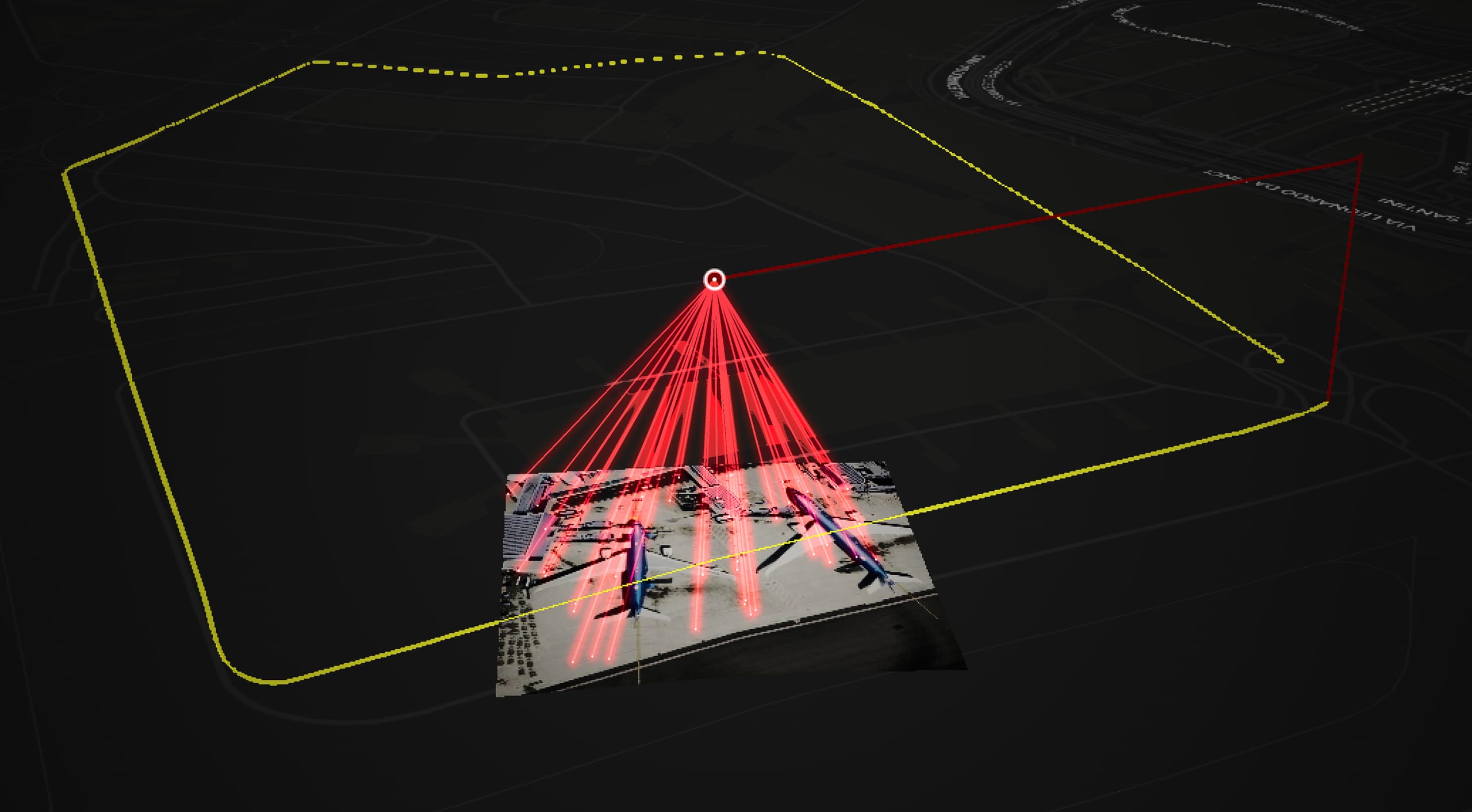
A nadir-facing camera continuously captures the terrain below, regulated by an onboard software pipeline.

03 · Matching
Neural Networks

Two neural subsystems pair live imagery to the preloaded map and recover an absolute positioning fix.

04 · Output
Standard Output

The absolute fix is injected into the navigation loop in a standard GNSS format.

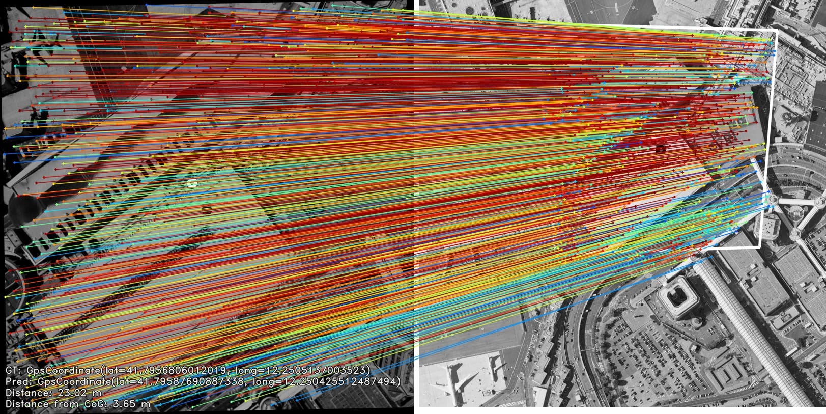
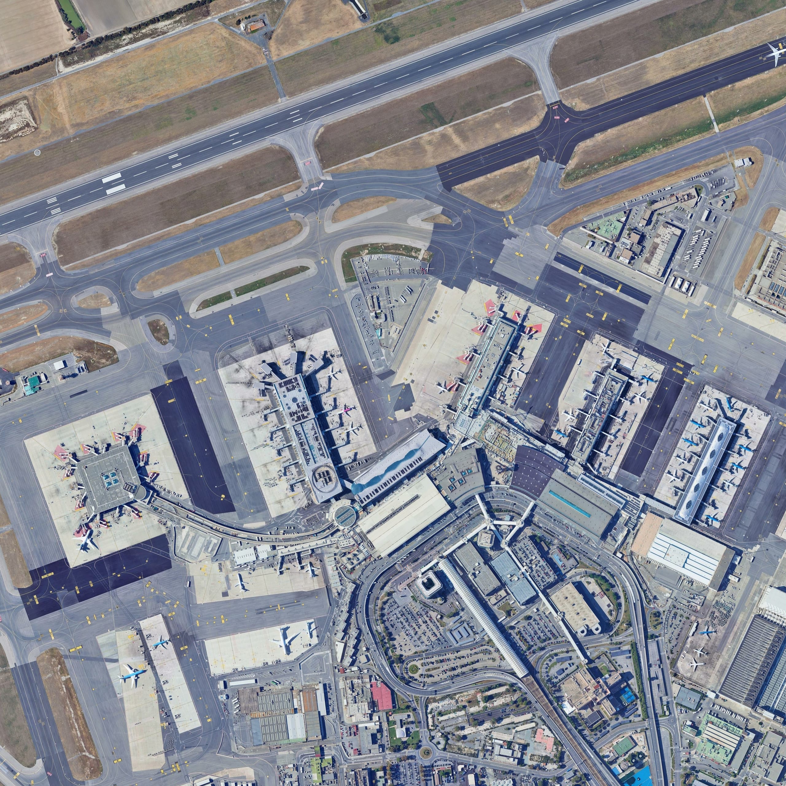
Visual matching · real output

A live frame, matched to the map.

Live nadir frame
Reference map
Fiumicino · Rome
RAYSILIENCE Simulation Environment
Position accuracy
< 3 mCEP

CEP refers to CEP50. All accuracy figures are measured under nominal operating conditions.

60 HzUpdate rate
< 20 sTime-to-first-fix
MAVLinkStandard navigation message
What sets it apart
01
Fully onboard

No datalink, no ground station, no dependency.

02
GPU native

Real-time neural inference on embedded hardware.

03
AI enabled

Networks match imagery to references for an absolute fix.

04
Plug & play

COTS, ITAR-free, integrable with leading UAV units.

Reference satellite map
Space-enabled

Powered by European Earth-Observation data.

Reference maps are built from Earth-Observation services, and MONDRIAN is compatible with every satellite-imagery provider, public and private. Testing so far has been run entirely on European data, from ESA's Sentinel-2 mission.

The company

A European answer to Electronic Warfare.

Company
Italian S.r.l.
Innovative Startup
Rome · Italy
Founder-owned in Rome.
European by design.

Born as a research team, now independent and ITAR-free, pairing aerospace engineering with institutional and financial discipline to take MONDRIAN from prototype to deployment.

The team
Samuele Ebano
CEO · Space System Engineer

Aerospace engineer with professional experience in mission analysis and space segment operations across European dual-use and defence satellite programmes.

Jacopo Alati
CFO · Legal Counsel and IP

Legal, financial and institutional expertise, with research in space policy and economics and NATO training at the Security Force Assistance CoE.

Emanuele Di Matteo
COO · Hardware Integration Engineer
Ilaria P. Fiore
Business Developer
Nicolò Giandinoto
Visual Navigation Engineer
Enrico Cestra
GNC Engineer
Niccolò D'Ambrosio
Flight Dynamics Engineer

Seven specialists, one mission: space, aeronautics, software, autonomous systems, hardware, business and legal.

Achievements & IP
CASSINI Hackathon - 3rd in Italy
2024
Test-It Award - Telespazio T-TeC, awarded at the European Space Conference
2024
EUDIS - 2nd, then invited back as mentors
2025
Proof-of-Concept contract with Leonardo Labs - Autonomous Systems
2025
Selected into the ESA Business Incubation Centre Lazio
2026
Patent Pending for the MONDRIAN Algorithmic Core
Ongoing
Leonardo Team for Innovation A Leonardo S.p.A. Team for Innovation
Contact

Let's talk.

Questions, partnerships, demos or anything else. Send us a message and we'll get back to you.

Social
Location
Rome · Italy
Sending…
Couldn't send just now. Please try again in a few minutes.
Received

Thank you - we'll be in touch.

For urgent enquiries, reach us on LinkedIn.

Request a demo
Let's talk.
Sending…
Couldn't send just now. Please try again in a few minutes.
Received

Thank you - we'll be in touch.

For urgent enquiries, reach us on LinkedIn.